Backcountry Snow
How A Winter's Weather Becomes A Snowpack
Each storm and clear spell leaves a layer with distinct properties, and the sequence of that weather determines whether the resulting snowpack bonds or stays dangerous.
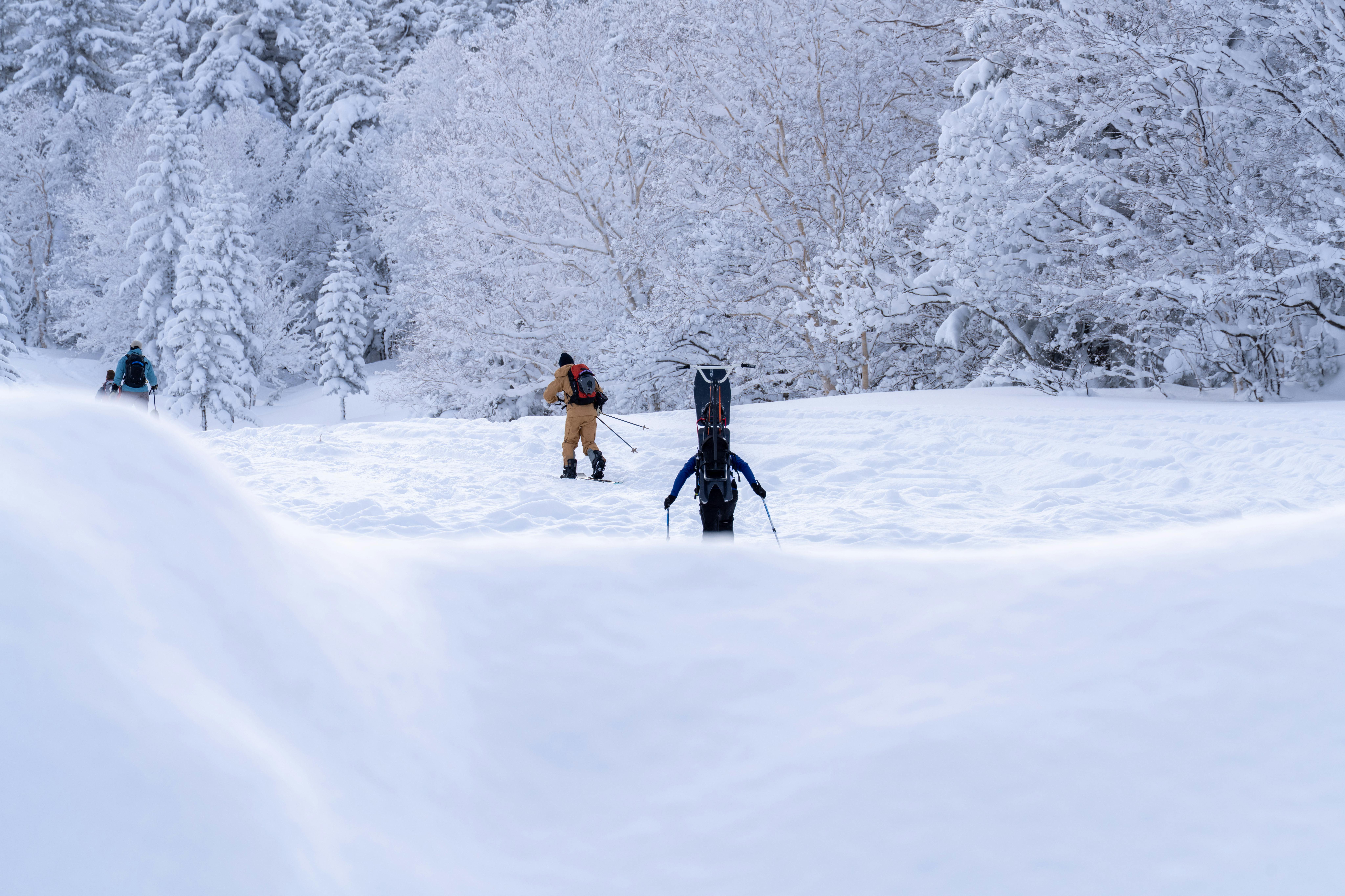
An avalanche forecast describes a structure built over months. Understanding how weather becomes layers explains why some winters are dangerous from November and others are not.
Every event leaves a signature
A snowfall deposits crystals whose shape depends on the temperature and humidity they formed in, and on the wind that moved them before they settled.
Between snowfalls, the surface is exposed. Sun, rain, wind and clear cold nights each transform it differently before the next storm buries the result.
The buried surface becomes an interface, and the character of that interface determines whether the new snow bonds to what is beneath it.
Cold clear nights build weakness
When the snow surface radiates heat to a clear sky, a strong temperature difference develops through the upper snowpack. Water vapour moves along that gradient and rebuilds crystals.
The crystals it builds are faceted and angular, with poor bonding to each other. Buried by the next storm, they form a weak layer that can persist for months.
Surface hoar forms by a related process, growing feathery crystals on the surface on cold, calm, humid nights. Buried intact, it is among the most treacherous layers known.
Warmth and pressure do the opposite
When temperatures are near freezing throughout, crystals round off and bond to their neighbours. This process, driven by the snow settling under its own weight, strengthens the pack.
A melt-freeze cycle produces a hard crust, which is strong in itself but creates a smooth surface that later snow may not bond to.
Rain adds water that refreezes into ice layers. These can be strong, slippery, or both, depending on how they formed and what sits above them.
Why the sequence matters more than the total
A deep snowpack that built steadily in mild conditions can be far safer than a shallow one that formed from an early snowfall followed by weeks of clear cold.
Thin snowpacks develop stronger temperature gradients, which is why continental regions with modest snowfall often carry more persistent structural problems than maritime regions with far more snow.
This is also why the same slope behaves differently between seasons. The structure, not the terrain, is what changed.
What this means for using a forecast
Forecasters track this history continuously, which is why their bulletins describe named avalanche problems rather than simply a danger number.
That accumulated record is not something a visiting party can reconstruct from a single day's observations, and it is the main reason the local bulletin is indispensable.
Reading a snowpack properly requires formal avalanche education and time in the specific range, and no article substitutes for either.
Also by Jonas Lindqvist
- How to read an avalanche forecast properlyBackcountry Snow
- Spring snow: wet slides, timing, and the shrinking windowBackcountry Snow
- Your first season of ski touring: what nobody warns you aboutBackcountry Snow
- Electronics in the cold: keeping the things you depend on aliveGear & Kit


